East-West-Axis Cologne
Capacity Expansion on the East-West-Axis
Cologne is a growing metropolis on the Rhine with currently approx. 1 million inhabitants. The city is growing through the ages. It is a declared aim of the city of Cologne to support this process of change by expanding local passenger traffic. Thanks to a high-capacity supply more people shall be encouraged to change to busses and railways. The city of Cologne also expands the capacities together with KVB to be able to reach the aims of climate neutrality.
Location. Cologne, North Rhine Westphalia, Germany
Client. City of Cologne
Services. Noise and vibration-related design, studies on electromagnetic compatibility, climatic impacts and air pollutants
Participating CCs. CC Acoustics, Dynamics, Building Physics, Measurement & Instrumentation
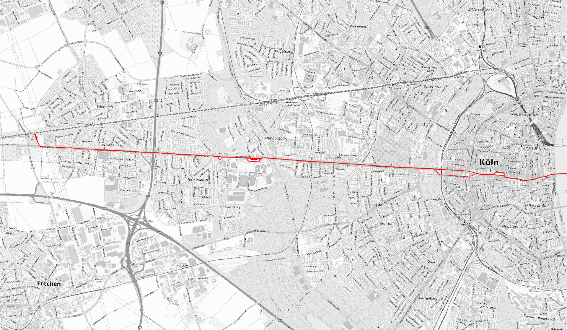
FCP and FCP IBU have been actively participating in the design and maintenance of the road and underground railway network of the city of Cologne. Currently the design of the capacity expansion of the East-West-Axis is supervised in the sections west of the Rhine with a total length of approx. 10.5 km. The East-West-Axis between Weiden West in the west of Cologne and Bensberg in the east is one of the main axes in the urban area of Cologne, run by the lines 1, 7 and 9. An increase of the frequency is not possible, thus 90 m instead of 60 m long vehicles shall be used in future.
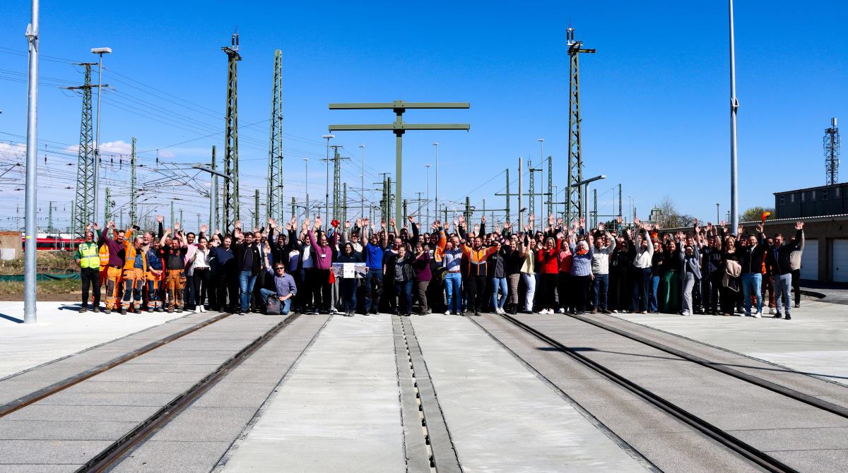
In the western part of the route 14 stops shall be adapted to be able to accommodate the longer vehicles in future. In the area of the inner city two alternatives for a comprehensive reconstruction are examined. One alternative keeps providing the reconstruction as above-ground traffic facility. The other alternative analyses in which form the tram could also be run below-ground in the inner-city area. The project offers great chances to upgrade the public space and to make Cologne a better place to live.
Currently the layout for the stops in the western part is planned, for the inner city the preliminary design for the below- and above-ground alternatives has been integrated into the political decision process as a proposed resolution.
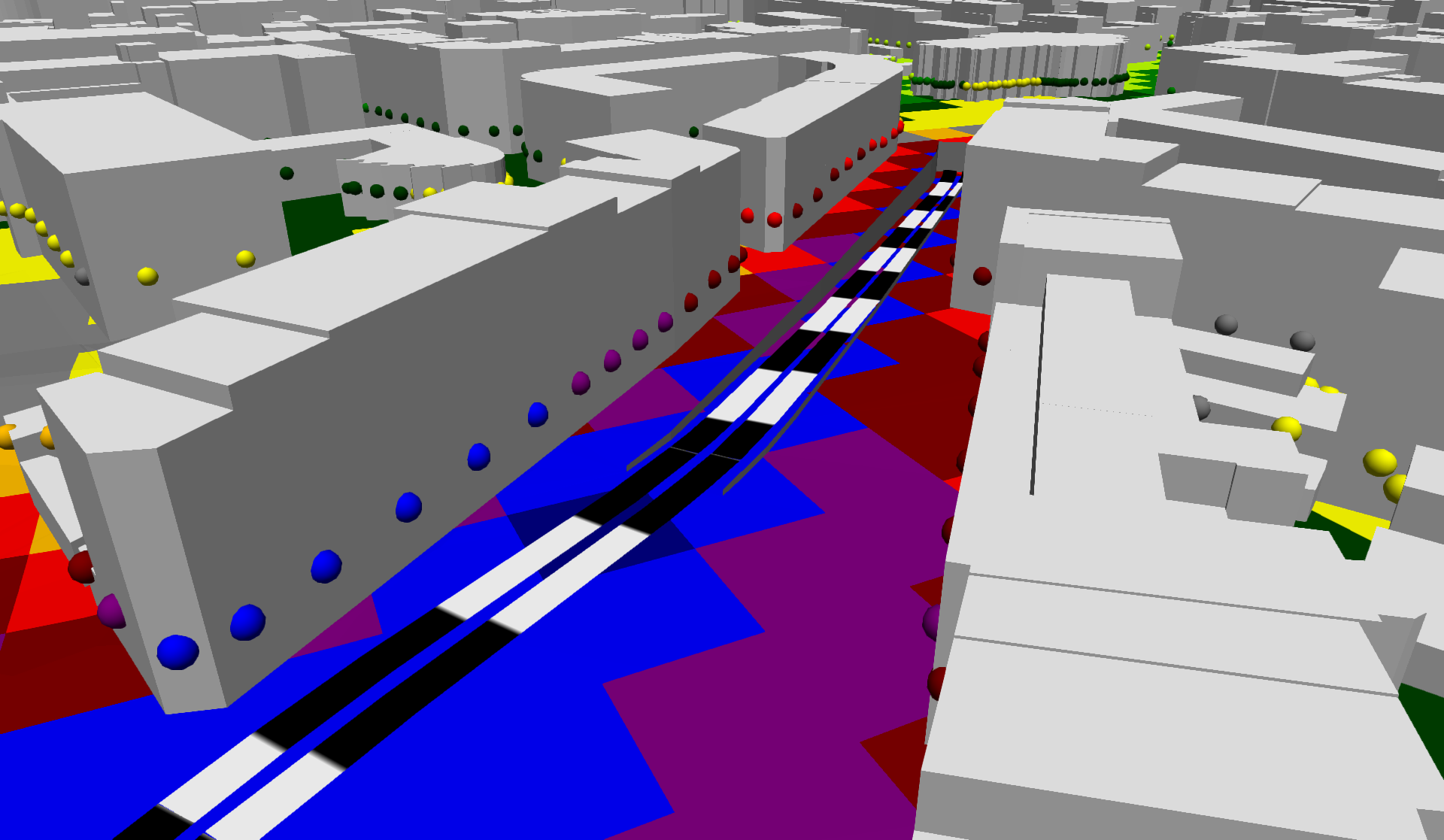
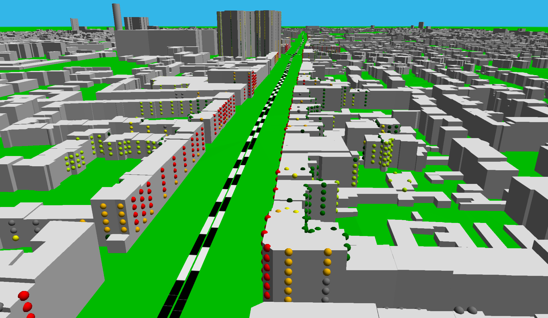
The calculation model comprises:
- 60,000 buildings
- 30 km of railway lines with corresponding emissions/li>
- 60 km of emission axes of roads/li>
- 9 km² of terrain model of the city as calculation area